

Range Of Professional Services
To Meet Your Needs
LiDAR Mapping
CM Geodata offers high-accuracy aerial LiDAR mapping services using reliable drone platforms and high quality sensors for data capturing and professional processing software to yield accurate and practical deliverables. Our workflows deliver dense, georeferenced point clouds with precise elevation data suitable for engineering, surveying, and geospatial analysis. From bare-earth modeling and topographic mapping (DSM/DTM) to volumetric calculations and infrastructure planning, our LiDAR solutions offer reliable, high-resolution datasets optimized for CAD, GIS, and BIM environments


Photogrammetry Mapping
Transforming aerial imagery into actionable insight, our photogrammetry mapping service delivers high-resolution orthomosaics, 3D surface models, and topographic datasets with centimeter-accuracy level. Whether for land development, civil infrastructure, or environmental monitoring, our photogrammetric solutions bridge the gap between field conditions and digital deliverables—ready for integration into your CAD, GIS, or BIM environments
Progress And Monitoring
Capture change. Quantify progress. Stay informed. Our aerial progress and site monitoring services deliver high-resolution imagery, orthomosaics, 3D models, and geospatial data to help teams track construction activities, assess site conditions, and document project milestones with confidence. In addition to visual monitoring, we provide precise volumetric analysis for cut/fill calculations, stockpile tracking, and material movement over time.
Whether you're overseeing earthworks, infrastructure, or site development, we offer accurate, repeatable data that supports reporting, planning, and decision-making

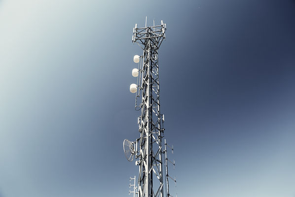
Inspections
Our aerial inspection services provide safe, high-resolution access to hard-to-reach assets and environments—delivering visual and geospatial insights for infrastructure, utilities, construction sites, and environmental areas. From surface conditions to structural integrity, we help you detect issues early, reduce risk, and make informed decisions with speed and precision
Pavement Analysis
Our drone-enabled pavement inspection service delivers high-resolution imagery and elevation data to assess surface conditions with speed and precision. From crack detection and rutting analysis to slope deformation and drainage issues, we provide actionable insights that help engineers and asset managers maintain safer, longer-lasting roads and infrastructure—all without disrupting traffic flow


Custom Data Capturing And Processing Services
Our custom data capture and processing services leverage drone imaging, LiDAR sensors, and advanced geospatial technologies to collect precisely the information your project requires. You can also send us your raw data, and we will process it into the exact deliverables you need.